Centuries-old methods for forest resource inventory, combined with modern technological advances, allow today’s arborists and land stewards to measure, assess, and manage forests with remarkable accuracy. Whether the goal is professional data collection for urban forestry or simple monitoring of a homestead woodlot, understanding these methodologies forms the foundation for informed decision-making.
This lesson walks through several key inventory approaches—beginning with traditional, ground-based methods and progressing toward advanced, technology-assisted techniques.
1. Complete Census (100% Inventory)
The complete census is the most thorough approach to forest inventory. Every individual tree within a defined area is identified, measured, and assessed. Data typically include species, size, health condition, and maintenance needs, along with precise location mapping—often supported by GPS tools or mobile mapping applications.
Because it measures every tree, this method provides the highest precision possible. It is best suited for urban forests, arboreta, and small conservation sites where detailed data are essential for long-term management. However, it is also the most labor-intensive and costly method, making it impractical for large areas.
2. Sample Inventory
When complete coverage isn’t feasible, sample inventories provide reliable estimates by measuring representative portions of a forest. Data collected from sample plots are then extrapolated to describe the larger stand.
Common variations include:
- Systematic Sampling: evenly spaced plots on a grid, ensuring uniform coverage.
- Random Sampling: unbiased selection of plots, reducing human selection bias.
- Stratified Sampling: dividing the forest into zones based on features such as soil type, species composition, or age class.
- Cluster Sampling: grouping plots to improve efficiency, especially in difficult terrain.
Sample inventories strike a balance between precision and practicality, making them suitable for large tracts of land or homestead forests where general trends are more important than exact counts.
3. Management Zone Inventory
The management zone inventory divides land into functional or ecological zones—such as conservation, recreation, and production areas. Each zone is inventoried and managed according to its specific goals and characteristics.
This method is valuable for precision management and integrates well with tools like GIS mapping and soil data. It is particularly effective for landowners and managers who want to tailor practices to different parts of a property rather than applying one uniform approach.
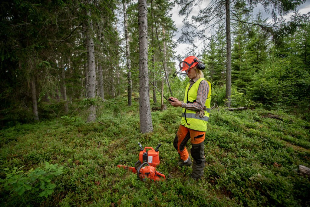
4. Variable-Radius (Angle Count) Sampling
Variable-radius sampling, often known as the Bitterlich method, uses an angle gauge or prism to determine which trees are counted in a plot. A tree’s inclusion depends on its size and its distance from the plot center.
This method is fast and widely used for estimating basal area and stand volume, especially in operational forestry. It offers efficiency without sacrificing too much accuracy, making it a useful tool for both professionals and advanced homesteaders managing woodlots for timber or firewood production.
5. Remote Sensing-Based Inventory
Modern technology has greatly expanded how forest resources can be assessed. Remote sensing uses satellite imagery, LiDAR (Light Detection and Ranging), and drone-based photogrammetry to estimate canopy height, density, and biomass.
Remote methods provide access to areas that are otherwise difficult to reach and can cover vast tracts of land quickly. When combined with ground-based verification, they deliver highly accurate data on forest condition and change over time. For the homesteader, even a small drone equipped with a basic camera can provide valuable insight into canopy health and land-use patterns.
6. Continuous and Permanent Plot Inventories
For long-term monitoring, foresters use Permanent Sample Plots (PSPs) or Continuous Forest Inventory (CFI) systems. These plots are remeasured over time to track growth, mortality, regeneration, and the effects of management practices or climate change.
While such systems are more common in research and professional forestry, the principle applies to any property—marking fixed points or trees and measuring them at regular intervals helps reveal trends in forest development and health.
7. Participatory Forest Inventory
In a participatory inventory, local communities assist in collecting and validating data. This method is used worldwide in community forestry and sustainable development projects. It not only provides valuable data but also fosters stewardship by involving landowners and residents directly in resource management.
Even in small-scale contexts, such as cooperative homesteading or neighborhood conservation projects, participatory methods can build shared understanding and investment in the health of local forests.
Data Collection Focus Areas
Regardless of which inventory method is used, data collection typically falls into three main categories: Tree Data, Site Data, and Management Data.
1. Individual Tree Data
Each tree is evaluated for:
- Species identification (using standardized taxonomy)
- Physical measurements such as height, diameter at breast height (DBH), crown spread, and canopy volume
- Condition rating for vitality and structural soundness
- Risk and maintenance assessment to determine pruning, removal, or treatment needs
These data points form the foundation of any arboricultural inventory.
2. Site Data
Beyond the tree itself, site conditions determine long-term success. Site data include:
- Growing room: soil volume, available root space, and canopy space
- Encroaching infrastructure: power lines, utilities, sidewalks, or underground systems
- Soil assessment: compaction, moisture, pH, and organic matter content
- Site usage patterns: how human or animal traffic impacts soil and root health
This broader context helps explain why certain trees thrive while others struggle.
3. Management Data
Inventory work also supports long-term planning through management data, such as:
- Maintenance history—records of past interventions
- Priority rating—which trees or zones require attention
- Budget and scheduling—resources and timing for maintenance or improvement
These records transform raw observations into actionable management plans.
Conclusion
Resource inventory methodologies form the backbone of modern arboriculture and sustainable land management. From the precision of a complete census to the efficiency of drone-based mapping, each approach serves a specific purpose.
For apprentices, understanding these methods builds technical literacy and prepares them to select appropriate tools for professional practice. For homesteaders, the same knowledge empowers informed stewardship—helping them monitor tree health, plan maintenance, and protect the ecological balance of their land.